

Mountain biking and road biking couldn’t be more different. Each requires a unique type of bike and set of skills. You’ll find road biking more leisurely and beginner friendly. While mountain biking can get the heart pumping with technical twists, turns, and obstacles. We have compiled a guide to the best cycling on Cape Cod with separate sections for paved paths and off-road paths. Happy pedaling!
Paved Path Biking on Cape Cod
Canal Bikeway
Approximate Length: 7 – 8 miles.
Map of Canal Bikeway
Along the canal bikeway, you can view boat traffic and wooded scenery. This is an ideal trail for casual cyclists, as it isn’t very steep or twisting.
National Seashore
Approximate Length: Nauset Trail, 1.6 miles. Meadow Trail, 2 miles.
Map of National Seashore
There are a couple of trails located at the National Seashore. With gorgeous views of the Atlantic, you can do both trails or keep your trip short with only one. Bring a bag with a towel and lunch and take a break at the beach. There are lots of historic sites to stop at along your ride as well.
Rail Trail
Approximate Length: 25 miles
Map of Rail Trail
If you’re looking for a longer ride without steep grades, the Rail Trail is perfect. This trail follows an old railroad route and passes by many local attractions and recreation areas. Ride the whole trail if desired, or turn around feeling fatigue set in. Lastly, stop at attractions along the way to enjoy a full day’s adventure.
Nickerson State Park Trail Network
Approximate Length: 8 miles of various interconnecting trails.
Map of Nickerson State Park
Trails in Nickerson State Park climb up gentle hills through pine and fir forests. Spot lakes, ponds, and bog ecosystems during your ride. Additionally, wildlife is abundant in this area, so keep your eyes peeled for foxes, deer, coyotes, small mammals, and birds.
Province Lands
Approximate Length: 5.25 miles.
Map of Province Lands
This trail is also located within the National Seashore. It starts at the Province Lands Visitor Center and is the longest trail within the National Seashore boundaries. Pass through a shaded beech tree forest and view many ponds. Finally, be aware that this is a hilly path, so prepare for some pedaling.
Shining Sea Bikeway
Approximate Length: 10.7 miles.
Map of Shining Sea Bikeway
Built atop a former railroad, this trail is practically flat the entire way besides a few small sections of mild grade. Fabulous views of the coast along the whole trail. You even pass a cranberry bog!
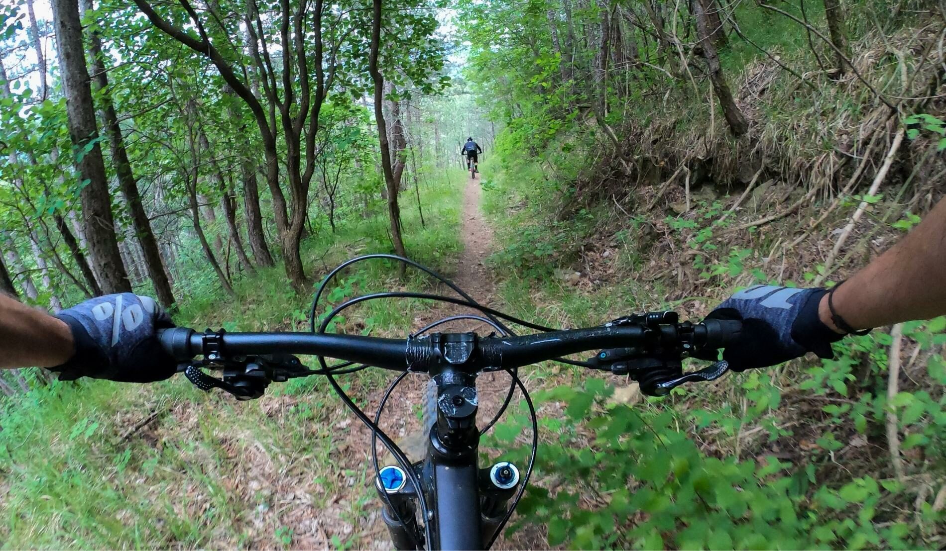
Mountain Biking on Cape Cod
Hathaway’s Pond Conservation Area
Approximate Length: 1.25 miles.
Map of Hathaway’s Pond
This trail encompasses Hathaway’s Pond and although short, does feature some tricky sections with roots and rutted hardpack. An experienced mountain biker usually finishes the route in about 20 minutes. For a longer ride, cycle through the trail several times.
Old Jail Lane Conservation Area
Approximate Length: Various trails with unknown approximate mileage.
Map of Old Jail Lane Conservation Area
Watch out for thorny vines along this trail. It’s advised to bring a spare tube and/or patch kit on your ride. There is no regular site maintenance during the spring or summer months, so the wide paths are frequently overgrown but still have enough space to ride in the middle. This is considered a technical trail due to the lack of maintenance and rocks/logs/roots in the way.
Otis Atwood Conservation Area
Approximate Length: 1.6 miles.
Map of Otis Atwood Conservation Area
This trail is flowy and a good pick for a beginning mountain biker. There are some quick turns and drops, but nothing too technical. Loop the trail several times for a great training workout.
Trail of Tears Trail Network
Approximate Length: 21-mile network.
Map of Trail of Tears
With many miles of trails, the Trail of Tears provides tons of variety in terrain — from flat and easy to technical and twisty. That makes this area the most popular spot for mountain biking on Cape Cod.
Willow Street Trail Network
Approximate Length: Trails vary from 6 – 7.5 miles.
Map of Willow Street Trail
A lesser-known trail, Willow Street Trail Network is a single-track trail that takes you behind residential homes and through an area of an unfinished housing development. Considering the way this trail is maintained, cyclists must ride over rather than around all the obstacles.
After an Active Day
Biking can take a lot of energy and concentration. That’s why it is best to get a quality night’s sleep. Our rooms at the Captain’s House Inn offer just that. You’ll find comfort and amenities with all our rooms and a scrumptious gourmet breakfast waiting for you in the morning. Reserve your room directly with us on our website.